
Information about the path
Information about the path
Main route
From Pontboset to Champorcher: 11 totems over 8 km in length with 750 m of positive elevation gain. You can choose to walk the entire route or tackle it in stages. At several points, the path reaches villages where you can find stops on the Verrès – Champorcher bus line. Visit the V.I.T.A. website to check the schedules.
A trail immersed in Nature, dotted with narrative stages that weave together memory, landscape, and identity. This is a path that can be done in stages, even with children. If they cannot walk, we recommend using a baby carrier, backpack, or sling. In some sections you will encounter stairs, and in others forest trails that make it difficult to use a stroller.
Loop variant
A recommended detour in the municipality of Champorcher, starting from the Moulin bridge and crossing the hamlets of Rosier, Mellier, and Echelly. Approximately 3.5 km, with 350 m of positive elevation gain.
The path moves to the orographic left side of the valley (Adret), offering a change of light, environment, and perspective: new tree species, open panoramas, memories suspended in time.
Route map for the municipality of Pontboset
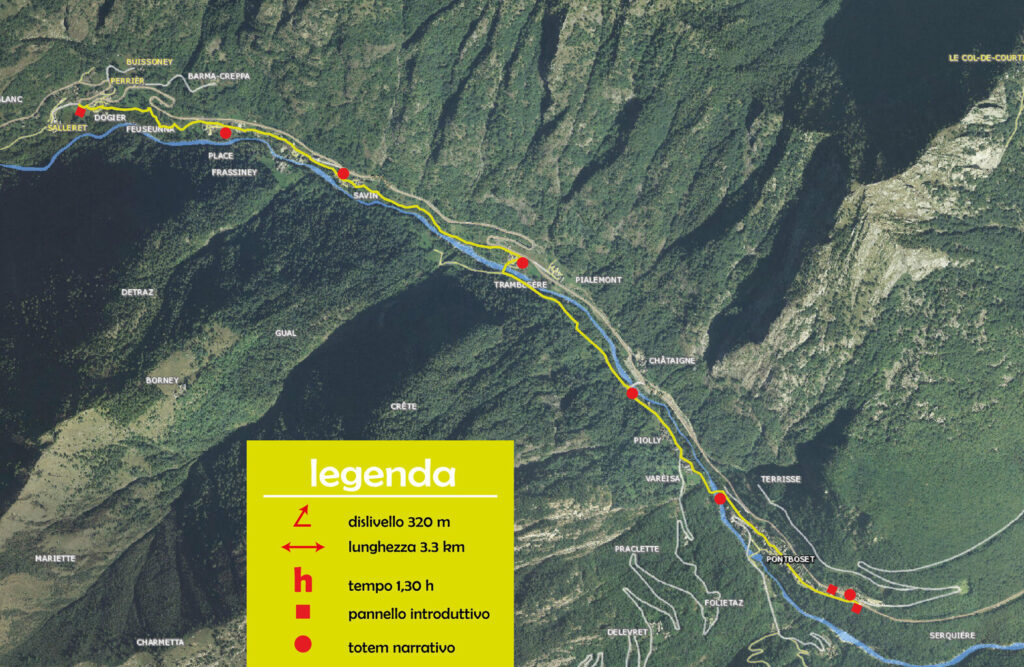
Route map for the municipality of Champorcher
